Before you sign a lease or make an offer, see the full risk picture for any US neighborhood — natural hazards and wildfire risk, crime, road safety, air quality, radon, income, home values and property tax, health, environment and disaster history — in one clear report, built entirely from official government data.

A home is the biggest decision most families make. Your household report pulls it all into one place, so you can compare neighborhoods with confidence.
All 18 FEMA perils — flood, hurricane, tornado, earthquake, heat and more — plus a dedicated USDA wildfire-risk score, for the county and your ZIP.
Violent and property crime rates from the FBI, plus fatal-crash exposure on local roads from NHTSA.
Median household income, median home value, median property tax and poverty rate from the US Census.
Community health outcomes from the CDC, hospital quality ratings and care-access shortages.
Superfund and toxic-release sites, air quality (AQI) and unhealthy-air days, and the EPA radon zone.
Federal disaster declarations and storm-event counts, so you know what the area has actually lived through.
Optional +$5 add-on: rank every bordering county side by side by risk, hazard, road safety and crime.
Wildfire, flood, severe storms, dangerous roads and the strength of local health care — RiskIndex scores the forces that actually shape a place, drawn from FEMA, NOAA, NHTSA, CDC and HRSA records.
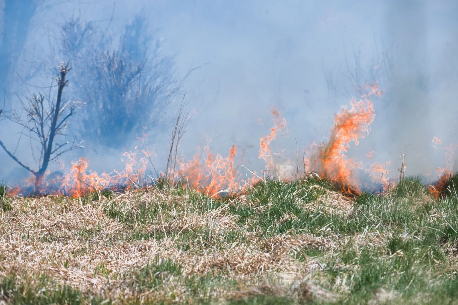 Wildfire & extreme heat
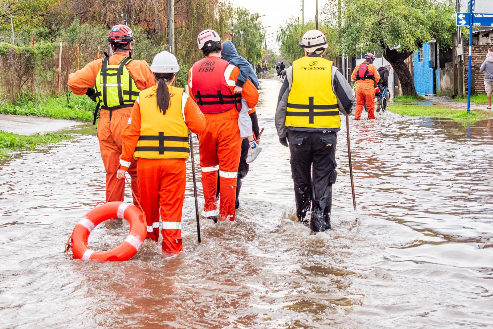 Flood & severe storms
 Road safety
 Health & care access
Every location gets a 0–100 score and an A–F grade you can compare at a glance — then a downloadable PDF with the complete breakdown to save and share with your family or agent.
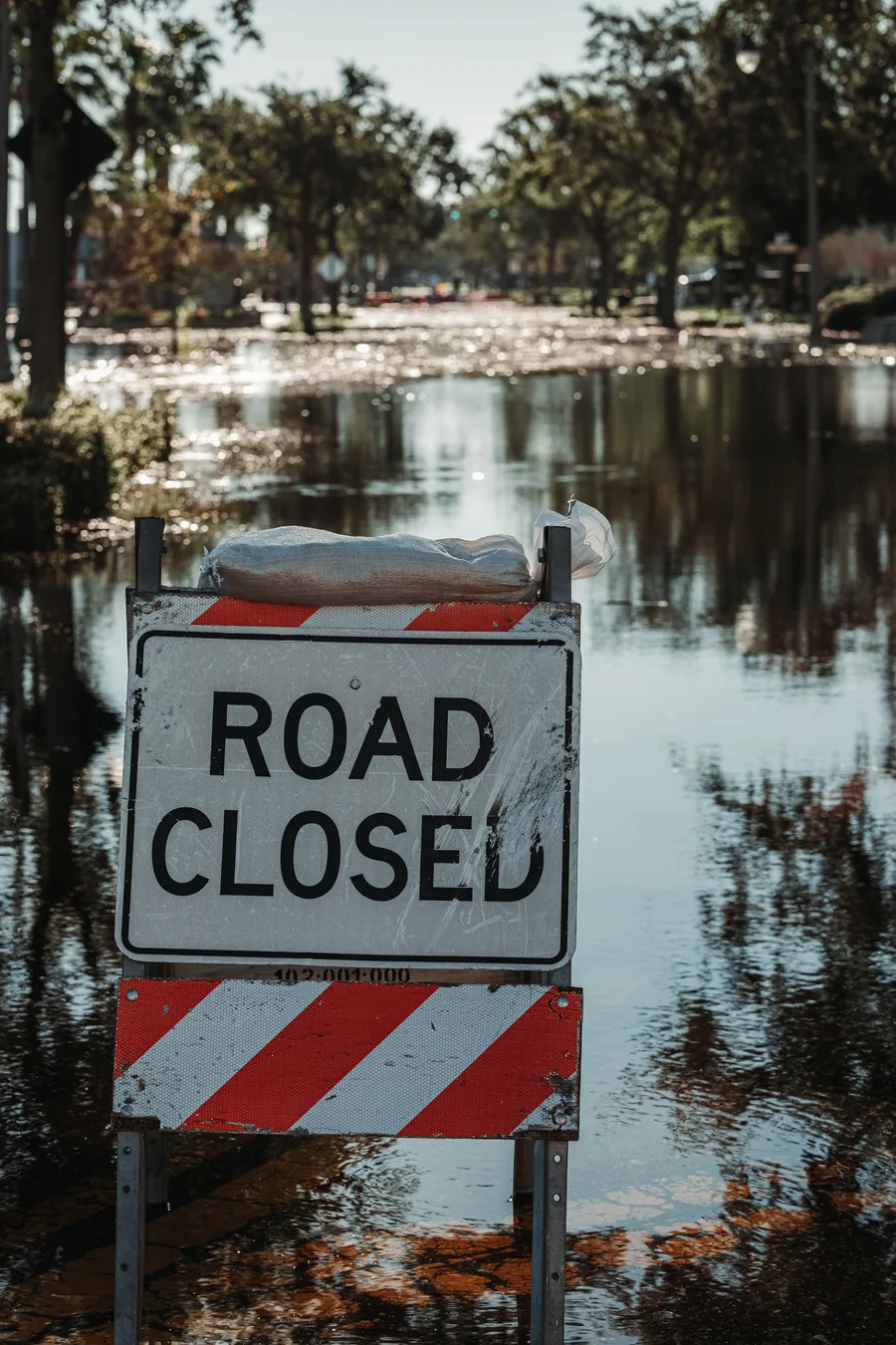
Flood, storm and federal disaster-declaration history for the county and your ZIP — so you know what an area has weathered before you commit.
Type the ZIP code or county you're considering. See the free grade and component scores instantly.
One-time $9.99 (USD or CAD). Secure checkout by Stripe — no subscription, no account required.
Get the complete report as a clean PDF, instantly — hazards, crime, income, health, environment and disaster history.
Every number traces to a named government agency — FEMA, the FBI, NHTSA, the US Census, EPA, CDC and more. Nothing scraped, nothing invented. RiskIndex compares places, not people: it is not a consumer report and can't be used for credit, insurance or housing eligibility. It's here to help you make a confident, informed move. See our sources and terms.